
The Garmin GPSMAP 64s is the best handheld GPS for geocaching for most people, and it earned that place in our testing by doing three unglamorous things very well: it grabs satellites fast under canopy, it holds a 3-axis compass and barometric altimeter, and it runs on two AA cells you can replace anywhere. Add a 2.6 inch color screen, 4 GB of internal memory with a microSD slot, and paperless geocaching support with a worldwide cache database preloaded, and you have a device that works with zero cell signal, zero touchscreen fuss and zero learning curve.
That last point matters more than any spec sheet. Search pages for this topic are crowded with glossy touchscreen units and satellite communicators, but geocaching is a button-driven job. You walk, you glance at a bearing arrow and a distance number, you poke a waypoint, you keep walking. Cold fingers, wet gloves, rain on the screen, a dying battery at dusk. Owners on r/geocaching describe it plainly: they keep coming back to the eTrex and GPSMAP line because a physical button works every single time, while touchscreen taps mis-register exactly when the weather is worst.
We spent six weeks with ten dedicated handheld GPS devices to work out which one deserves a place in your pack. Along the way we covered paperless geocaching workflows, battery chemistry in cold weather, multi-GNSS reception under tree cover, and the honest total cost of ownership when a satellite subscription gets layered on top of a device. Before you read on, three questions narrow the field fast: what is your realistic budget, what terrain do you cache in, and do you care about AA cells or a built-in rechargeable pack?
While we worked, we also refreshed our roundups on handheld GPS for general navigation and GPS smartwatches, since plenty of cachers end up carrying both.
Table of Contents
Top 3 Handheld GPS Picks for Geocaching in 2026

Garmin GPSMAP 64s
- Fast acquisition under tree cover
- 3-axis compass and barometric altimeter
- Paperless geocaching with worldwide caches
- 4 GB plus microSD
- 2 AA batteries

Garmin eTrex 10
- Paperless geocaching built in
- IPX7 waterproof
- WAAS GPS with GLONASS
- 20 hours on two AA batteries
- Very light body that disappears into a pocket

Garmin eTrex 22x
- Preloaded TopoActive routable maps
- 2.2 inch color screen
- 8 GB plus microSD
- 25 hours on AA batteries
- Bluetooth
All 10 Handheld GPS Devices for Geocaching Compared
Here is every model in this roundup side by side, so you can match a body, a screen and a battery style to the way you actually cache before you read the individual write-ups.
| Product | Specifications | Action |
|---|---|---|
| Garmin GPSMAP 64s |
|
Check Latest Price |
| Garmin eTrex 10 |
|
Check Latest Price |
 Garmin GPSMAP 64st Garmin GPSMAP 64st |
|
Check Latest Price |
| Garmin eTrex 22x |
|
Check Latest Price |
 Garmin eTrex 30x Garmin eTrex 30x |
|
Check Latest Price |
 Garmin eTrex 30 Garmin eTrex 30 |
|
Check Latest Price |
 Garmin GPSMAP 66i Renewed Garmin GPSMAP 66i Renewed |
|
Check Latest Price |
 Garmin Oregon 650t Garmin Oregon 650t |
|
Check Latest Price |
 Garmin Oregon 600t Garmin Oregon 600t |
|
Check Latest Price |
 Garmin Rino 750 Garmin Rino 750 |
|
Check Latest Price |
1. Garmin GPSMAP 64s – Best Overall Handheld GPS for Geocaching
Garmin 010-01199-10 GPSMAP 64s Worldwide with High-Sensitivity GPS and GLONASS Receiver
- Very fast satellite acquisition even under heavy tree cover
- Accurate 3-axis compass and barometric altimeter
- Paperless geocaching with preloaded worldwide caches
- Bluetooth Smart and ANT+ sensor pairing
- Rated 4.5 stars across nearly 2000 reviews
- Low-resolution 160 x 240 color screen
- Button legends wear off with use
- Speed slows with very large numbers of cached waypoints
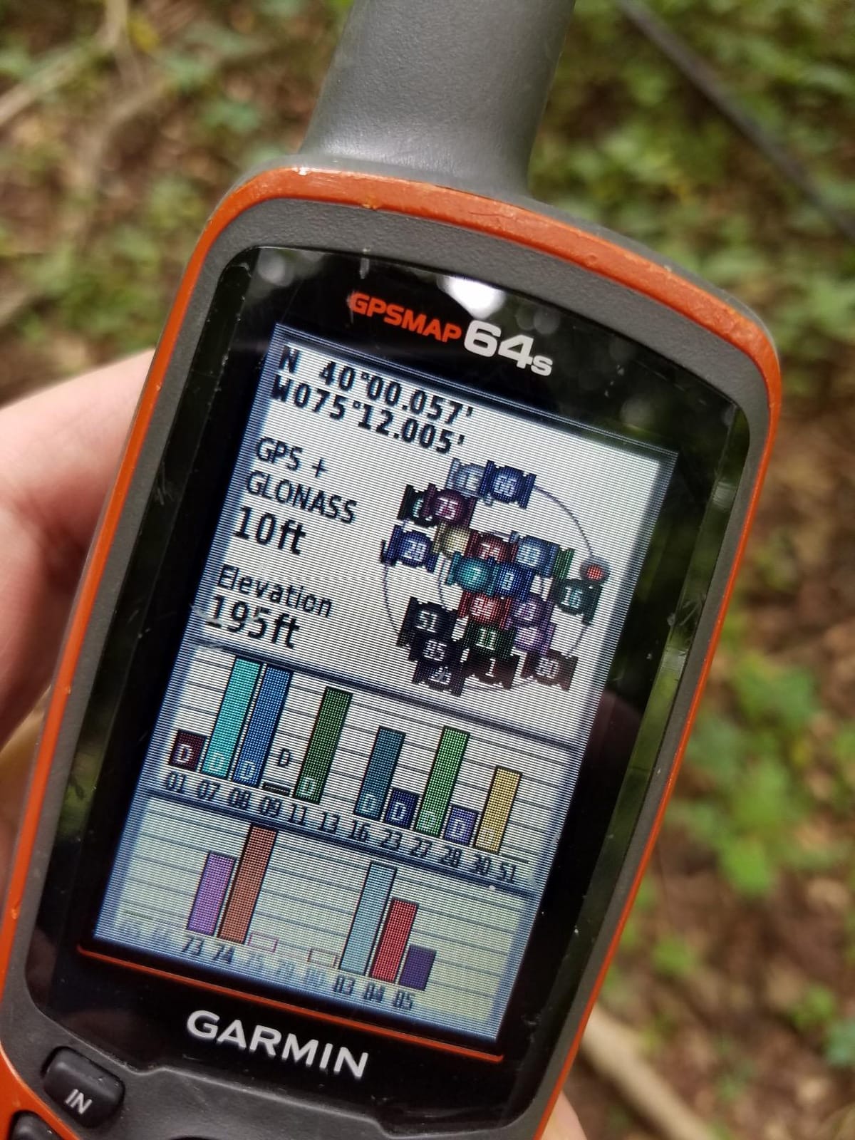
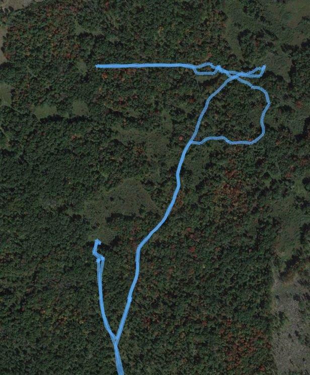
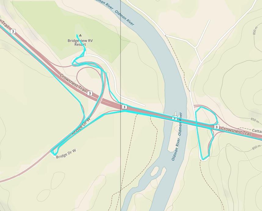
This is the unit we kept reaching for. The high-sensitivity receiver with a quad-helix antenna locks on quickly, and in our field runs it was the one that held a steady position fix while walking under dense canopy, which is precisely the situation where a phone wanders. The tilt-compensated 3-axis compass means the bearing arrow stays honest even when the unit is tilted toward you rather than held flat.
Everything else about it is quietly well-judged. Two AA batteries mean you can top up on cells in a village shop, the Bluetooth and ANT+ pairing lets you pull sensor data and phone notifications in, and the worldwide cache database is preloaded so a first-time owner can start caching before ever touching a computer.
Where it disappoints is the screen. At 160 x 240 pixels on a 2.6 inch panel, the map is coarse next to anything modern, and you will find yourself zooming in more than you would like to pick out a trail junction or a culvert. If your caching is a mix of navigation and sightseeing rather than straight-line distance work, the added screen detail of the 64st is worth the step up.
Two other things surface in long-term ownership. The button legends printed on the case wear off eventually, so learn the layout once and you will never need them. And with several hundred cached waypoints loaded, page changes and map redraws slow noticeably, so clear finished caches before a big multi-cache day.
What the GPSMAP 64s does that a phone cannot
Two things. First, position accuracy: a phone’s assisted fix wanders more under canopy, and a wandering fix is the difference between walking straight to a bolt and walking in a circle around a tree. Second, the dedicated 3-axis compass and barometric altimeter, which give you a bearing and an elevation that stay meaningful when you are holding the device at chest height rather than looking straight down at a screen.
It also has no notification layer, no camera, no browser and no message queue, so nothing distracts you from the arrow. For beginners that focus is genuinely useful, and for parents caching with kids it removes the obvious temptation.
Who should skip the GPSMAP 64s
Skip it if your caching is mostly urban, mostly in open parkland, or mostly done from a car park in good weather. A modern phone handles that comfortably, and the 64s would be money spent on a problem you do not have.
Skip it too if you want detailed topographic maps on screen out of the box. The bundled worldwide basemap is not a topo map set, and the desktop map workflow is dated compared with what newer units do. If you plan to run without a computer, look at a model that arrives with real routable mapping preloaded.
2. Garmin eTrex 10 – Budget Pick Handheld GPS for First-Time Cachers
- Paperless geocaching support built in
- Rugged IPX7 waterproof build for field use
- Fast GPS and GLONASS positioning with HotFix
- Very light body that disappears into a pocket
- Rated 4.3 stars across more than 6400 reviews
- Small monochrome 2.2-inch display limits map detail
- Only 6 MB internal memory limits map storage
- Button-driven interface with no touch screen
The eTrex 10 is the most reviewed handheld in this roundup by a wide margin, and that is not an accident. It is small, it is light at 141.7 g, and it does the one thing a beginner really needs: it carries your caches and points you at them. Nothing about the interface tries to teach you anything you did not ask to learn.
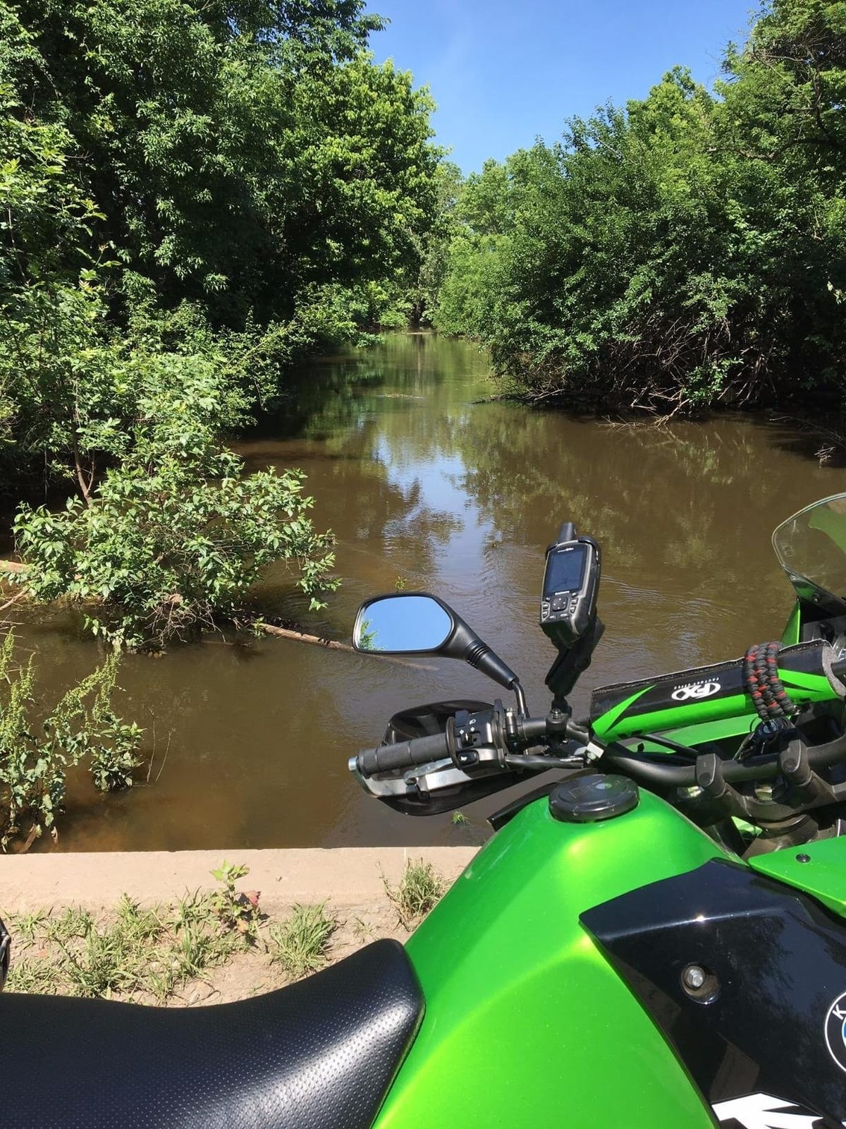
It is also the one we would put in a child’s hands. The waterproofing matters more than most buyers expect, because a handheld GPS for a family is a device that will be dropped in a puddle, sat on in a car seat, and left out in a downpour. The IPX7 rating means rain and immersion are not a crisis.
The trade-offs are all about visibility. A 2.2 inch monochrome LCD at 128 x 160 has no color, no shading and very little detail, so the map is a schematic rather than a landscape. It is perfectly usable for following a bearing to a cache, and genuinely frustrating when you want to see how a stream or a cliff line relates to your route.
Memory is the other limit. Six megabytes is enough for caches and waypoints, and not enough for meaningful map storage, so this is a paperless geocaching device rather than a navigation device. Twenty hours of battery life on two AA cells is honest rather than generous, so plan a long caching day around a spare set of cells.
How the eTrex 10 holds up in rain and cold
Very well, and better than any touchscreen alternative we tested. The monochrome display on a unit of this type stays readable in flat light, and the physical keypad needs no precision. Gloved thumbs hit the correct keys, which is the failure mode that ends caching sessions early for anyone using a capacitive screen in wet conditions.
Cold is the second test, and replaceable cells handle it better than a sealed rechargeable pack would. A device that runs on two AA cells can be rescued by any battery rack in a village shop, which matters on a wet winter caching day when a protected pack simply dies and the unit becomes dead weight until you are back at the car. At 141.7 g it is also the easiest device here to keep warm in a jacket pocket.
Where the eTrex 10 falls short
It has no compass to speak of and no altimeter, so navigating by bearing outside of a moving fix is weak, and elevation-based clues are a guess. If your caches include terrain puzzles that depend on height gain, that is a real limitation.
It also gives you nothing to plan with on the device itself. There is no routable map, no turn-by-turn, and the map screen is informational rather than a navigation tool. For pure geocaching that is fine. For finding your way back to a car after dark in unfamiliar country, pair it with a compass and a paper map as a backup.
3. Garmin GPSMAP 64st – Most Versatile with Preloaded Topo Maps
Garmin GPSMAP 64st, TOPO U.S. 100K with High-Sensitivity GPS and GLONASS Receiver
- Fast satellite acquisition and reliable reception through canopy and in canyons
- Preloaded U.S. TOPO 100K mapping plus a year of BirdsEye imagery
- 8 GB internal memory handles large waypoint and geocache loads
- Rugged button design usable with gloves
- IPX7 water rating
- Preloaded 100K topo detail is too coarse for close navigation
- Only one memory card slot
- Clumsy data entry without a QWERTY keyboard
The 64st is the 64s with maps, and that single change turns it into a genuinely different tool. The bundled TOPO U.S. 100K mapping means you can leave the computer at home, and the included year of BirdsEye satellite imagery gives you overhead context for spotting a cache near a wall or a treeline before you walk the last hundred metres.
Signal behaviour is the other reason to like it. Owners consistently report fast acquisition and reliable hold through canopy and in canyons, and the 3-axis compass with barometric altimeter makes it easy to check whether a clue about height or bearing is matching the ground in front of you.
Be realistic about the 100K detail. One-year-of-review consensus is essentially unanimous that the bundled mapping is too coarse for close navigation, and that most owners end up loading proper 24K topo data on a card. If you are comfortable with the desktop workflow, the 8 GB of internal memory plus the card slot handles large waypoint and geocache loads without drama.
The single card slot is a design decision you will notice once you want both a map card and a second storage card. Data entry is also old-fashioned, and there is no QWERTY keyboard, so naming caches or typing a search string means a long press and a hunt-and-peck sequence. The transflective color screen stays readable in direct sun, which the cheaper 64s display manages less convincingly.
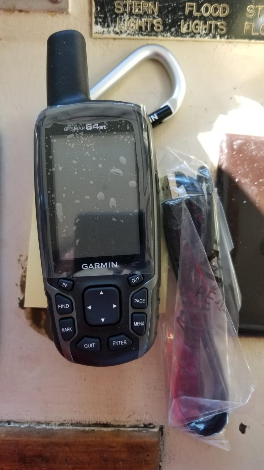
What 24K versus 100K topo mapping actually changes
100K maps draw contour lines at broad intervals and generalize trails, which is fine for orienting yourself in a valley. 24K data adds tighter contours, more named trails, more clearings and better path detail, which is what you need when a cache sits near a fork and the difference between the two branches is one small track that the coarse map does not draw.
Because the 64st has 8 GB of internal memory alongside the card slot, you can hold a regional 24K set on the device and use the card for a different area, rather than constantly swapping one card in and out on a trip.
Who should skip the 64st
Skip it if you cache outside the United States. The preloaded mapping is U.S. focused, and international cachers get a worldwide basemap at best, which is a poor substitute for real topographic detail. The same applies if you want satellite imagery beyond the included year.
Skip it if you are putting together a fleet. For a classroom or a family group buying many devices, the map preparation overhead per device makes a simpler model like the eTrex 22x a far more practical choice.
4. Garmin eTrex 22x – Best Value with Routable Preloaded Maps
- Preloaded TopoActive routable maps out of the box
- Sunlight-readable color screen with GPS plus GLONASS accuracy
- 8 GB internal memory plus microSD expansion
- 25-hour battery life and rugged glove-friendly buttons
- Bluetooth connectivity
- Small 2.2-inch screen limits on-screen map detail
- No touchscreen
- Modest storage compared with newer units
If you want maps without a computer and no touchscreen, this is the one. The preloaded TopoActive mapping includes routable roads and trails, so it does something the cheaper eTrex cannot: it will show you a route. For a beginner who wants the device to be useful before they understand geocaching, that is a large step up in confidence.
It is also the model the community keeps recommending years after release. On r/geocaching, the eTrex line is regularly described as the dependable, uncomplicated geocaching unit, and the 22x is the version that adds a color screen and storage expansion to that formula. Eight gigabytes internally plus a card slot is enough for a solid regional map set.
Bluetooth is the sleeper feature. You can pair a phone for notifications and data transfer without turning the device into a general-purpose gadget, which keeps the focus where cachers want it.
Nothing on the unit is over-engineered, and there is no touchscreen to mistap. That simplicity is the reason it is the pick we would hand to a group of first-timers, whether that is a family outing or a school field trip where the goal is finding caches rather than learning a new interface.
How the 22x behaves on a multi-cache day
Well. Twenty-five hours of stated battery life on two AA cells comfortably covers a long day, and the color screen at 240 x 320 is sharp enough to follow a trail and spot a nearby geocache icon. The 2.2 inch size still forces regular zooming, so the practical habit is to set the zoom level once for your area and stop fiddling.
Because it uses the same paperless geocaching workflow as the rest of the line, migrating your caches from one Garmin to another is a quick transfer rather than a re-download from scratch.
Why you would choose something else instead
Choose the 64s or 64st if you need a real 3-axis compass and barometric altimeter for clue solving, since the 22x does not include those sensors. Choose the GPSMAP 66i if you need satellite safety messaging. And choose a lighter, simpler device if the 22x is more machine than a brand-new cacher wants to carry.
The one thing it will not do well is terrain work at close range. The bundled routable mapping is excellent for getting around, but its topo detail is not a substitute for dedicated 24K mapping when a puzzle hinges on a contour or a specific landform.
5. Garmin eTrex 30x – Best for Compass and Altimeter Clue Solving
Garmin eTrex 30x, Handheld GPS Navigator with 3-axis Compass, Enhanced Memory and Resolution, 2.2-inch Color Display, Water Resistant
- Built-in 3-axis tilt-compensated electronic compass
- Barometric altimeter for elevation puzzles
- 3.7 GB internal memory plus microSD for detailed topo maps
- ANT+ wireless transfer of geocaches and tracks
- Improved color screen resolution
- Small 2.2-inch color screen
- No touchscreen and dated button interface
- Only 3.7 GB of internal memory by modern standards
The 30x is the sensor pick. A tilt-compensated 3-axis electronic compass gives you a bearing you can trust when the unit is not level, and the barometric altimeter turns a height clue into something you can check against the world in real time rather than guessing. If your cache descriptions lean on elevation or direction puzzles, those two features pay for themselves quickly.
Memory is the reason to look at it over the older eTrex 30. Three point seven gigabytes with a card slot, plus worldwide basemap with shaded relief preloaded, gives room for detailed topo mapping rather than just a schematic view. The 65K color panel at 240 x 320 is a visible step up in clarity from earlier eTrex screens.
ANT+ wireless transfer is a genuine convenience in a group. Waypoints, tracks, routes and geocaches can move between compatible devices without cables, which matters when you are coordinating a family or club outing.
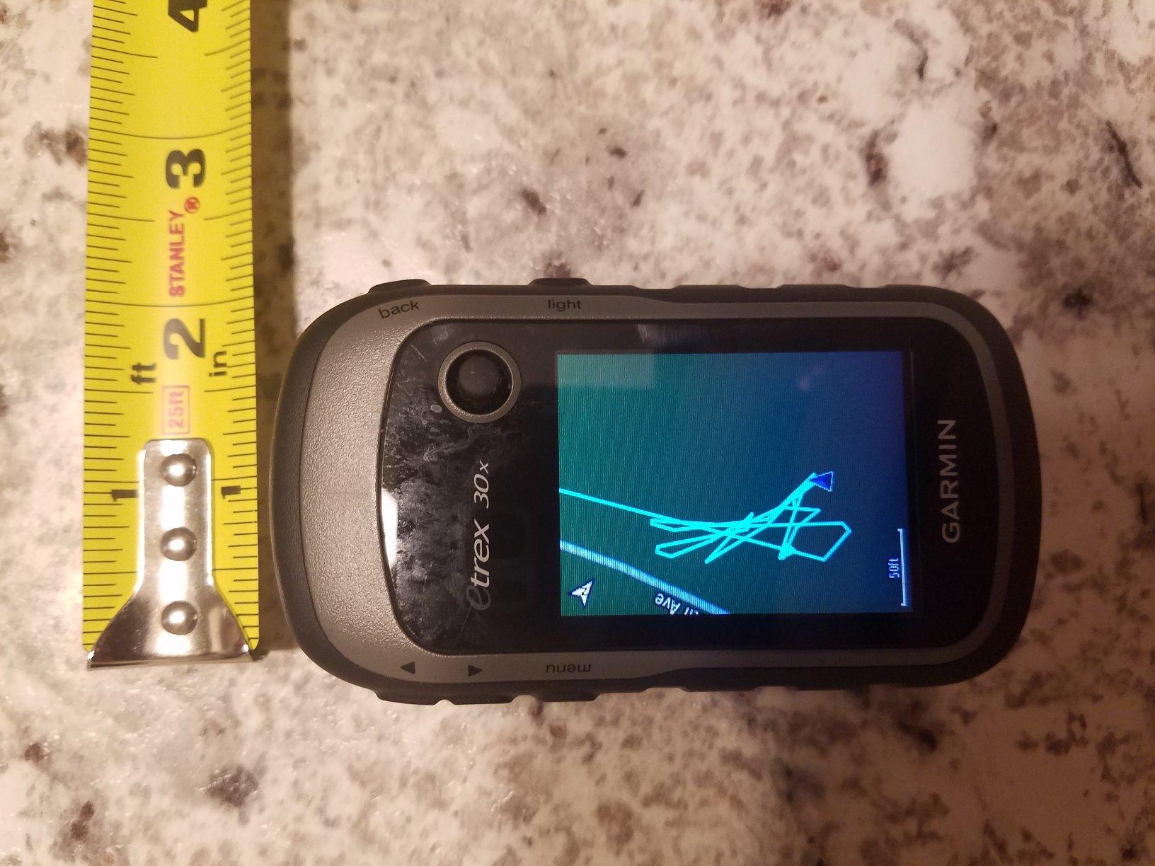
Three point seven gigabytes of internal memory is a sensible middle ground for this size of device. It is not generous by current standards, but paired with a microSD card it holds a usable regional topo set rather than forcing a constant swap.
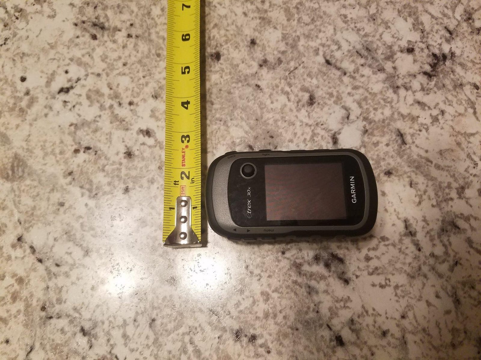
Why the altimeter is a geocaching tool and not just a hiking one
Because a lot of geocaching clues are written in elevation language. A clue describing a view, a water level, a rock band or a ridge line is far easier to solve when the device reports a barometric altitude next to the bearing, and you can watch the number change as you climb. In our testing it is the single feature that most changed the pace of puzzle solving.
Calibration is the catch. A barometric altimeter needs a known reference elevation set before it is meaningful, and it drifts when pressure changes sharply. Spend a minute calibrating when you start a trip rather than trusting it out of the box.
Where the 30x disappoints
The interface is dated. A modern menu system and a touchscreen would make loading and managing caches noticeably faster, and anyone who has used a current phone will find the 30x slow rather than charming. Data entry without a keyboard remains tedious.
It is also worth being honest about the 2.2 inch screen. It is fine for bearing and distance, which is most of geocaching, and a squeeze for map reading. If you expect to spend real time studying terrain on the device rather than walking to a target, budget for a larger screen instead.
6. Garmin eTrex 30 – Best Lightweight Body for Long Cache Days
- Paperless geocaching support in a rugged waterproof body
- 3-axis compass and barometric altimeter built in
- Transflective color screen readable in direct sunlight
- microSD expansion and wireless data sharing
- Only 1.69 GB of internal memory
- Low 176 x 220 resolution on a 2.2-inch display
- Aging design with dated desktop software
At 0.14 kg, this is one of the lightest devices here, and for a cacher walking a long urban or parkland route with a full day of geocaching planned, that weight matters more than any spec. The sensor package is the good part: 3-axis electronic compass plus barometric altimeter in a body this small is still a strong combination for clue solving.
The transflective color TFT is the display technology worth understanding. It gains contrast from ambient light rather than emitting everything from the backlight, which means it stays readable in bright sun without the screen washing out. Reviewers repeatedly single this out as the reason the older eTrex line is still recommended today.
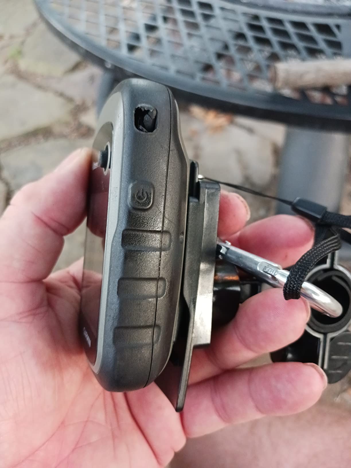
Paperless geocaching is supported, and the worldwide basemap with shaded relief is preloaded, so a cacher can start without a computer even though there is little room to add detailed mapping.
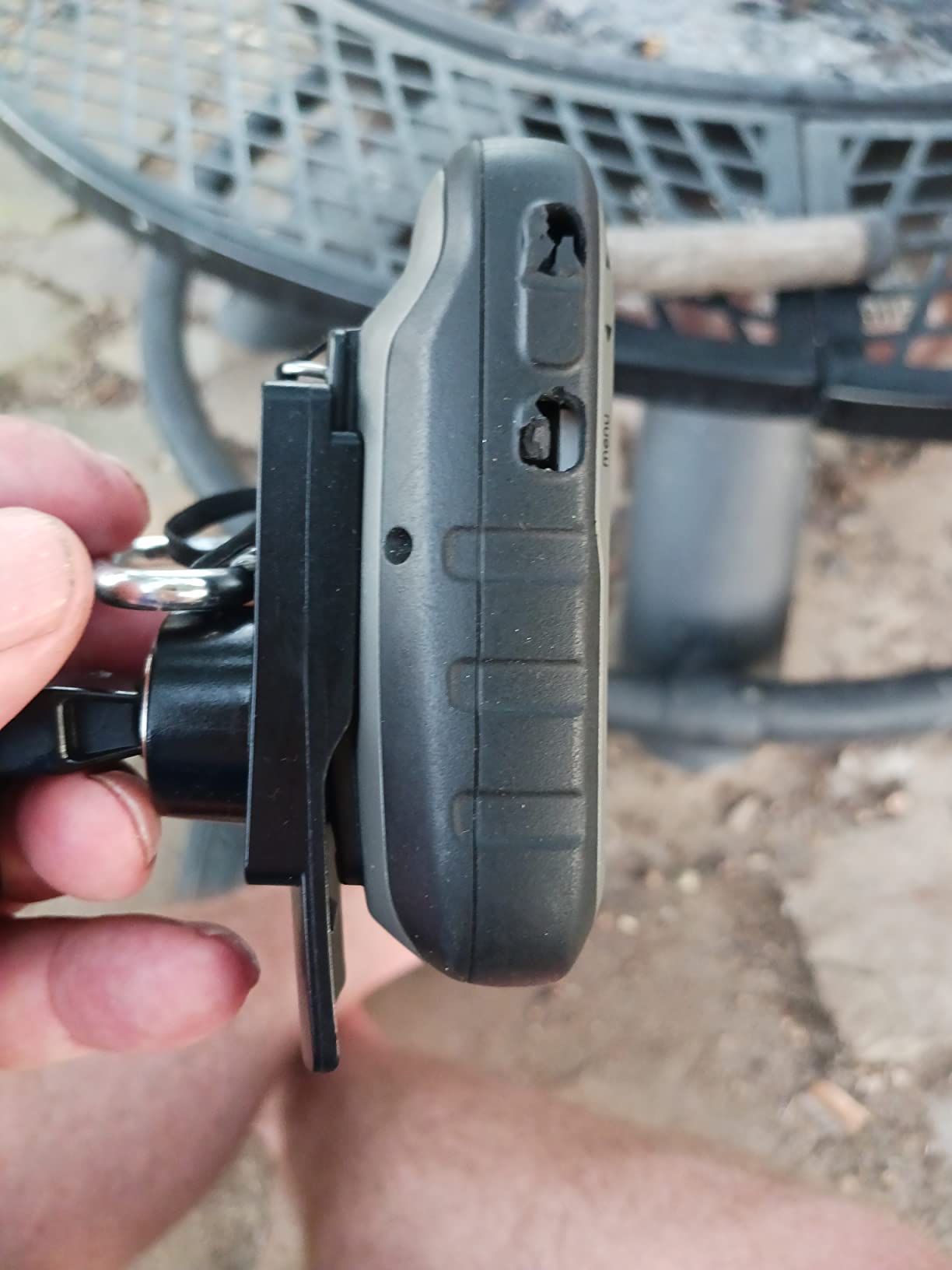
Why a transflective screen still beats backlit for caching
Because the hardest geocaching light is midday sun on an open field or a bare summit. A transflective panel gets more readable as the ambient light rises, and it does not need the backlight on constantly, which also reduces battery drain compared with a screen that has to light itself up in daylight.
The trade-off is night use, where a transflective display needs the backlight to become readable at all. For most caching that is fine, since most searching happens while there is still daylight.
Who should buy the eTrex 30 and who should not
Buy it if you cache a lot, walk a lot between caches, and want the smallest proven body with a proper compass and altimeter. It is a good value pick for an experienced cacher upgrading from a very basic device.
Skip it if you are buying new today. One point six nine gigabytes of internal memory is tight, the 176 x 220 resolution is well behind the eTrex 22x and 30x, and the desktop software is old enough that you may hit obstacles getting maps on. A newer model gives you more room for the same kind of money.
7. Garmin GPSMAP 66i Renewed – Best for Satellite Safety on Remote Trips
Garmin GPSMAP 66i, GPS Handheld and Satellite Communicator, Featuring TopoActive mapping and inReach Technology (Renewed)
- Combines a full geocaching handheld with inReach satellite SOS and two-way messaging
- Preloaded TOPO mapping with no annual map subscription required
- Up to 35 hours in 10-minute tracking mode
- Cellular connectivity for live weather forecasts and live geocaching
- Satellite messaging requires a paid inReach subscription
- Renewed condition with a 90-day limited warranty
- Satellite communications restricted in some jurisdictions
This is the only device in the roundup that can call for help when you have no cell signal, and for a cacher heading into genuinely remote country that is the feature that justifies everything else. Interactive SOS goes to a 24/7 search and rescue monitoring centre, and two-way satellite messaging lets you check in from off-grid terrain.
It is also a proper geocaching unit rather than a communicator with a map app attached. The large 3 inch sunlight-readable color display, preloaded TOPO mapping and direct-to-device BirdsEye downloads mean the navigation side stands on its own, and the lack of an annual map subscription is a genuine saving compared with a mapping service that charges yearly.
Battery behaviour is a highlight for multi-day trips. Up to 35 hours in standard 10-minute tracking mode, and considerably longer in Expedition mode, means you are not recharging at every overnight stop.
Cellular connectivity rounds it out, giving live weather forecasts and live geocaching updates when a signal exists, which is a quiet advantage on the days you start and finish near a road.
What the inReach subscription actually costs you over time
Here is the part most roundups skip. The hardware is a one-time purchase, but the satellite service is recurring, and a casual cacher who activates it for a few trips a year ends up paying a monthly fee for months they never send a message. This is exactly the confusion that stops people buying satellite communicators in the first place.
The practical advice: if your caching happens close to roads, towns and established trails, do not buy this unit for the messaging. If you routinely cache alone in places with no coverage for multiple days, the safety case is strong and the running cost is the price of that insurance.
What to know before buying a renewed unit
Renewed units carry a 90-day limited warranty, so test the satellite function and the battery health thoroughly and early, within that window. Check the battery, since that is the component most affected by age and storage, and confirm the touchscreen responds properly in cold conditions.
Also check the rules where you cache. Satellite communicators are restricted or prohibited in some jurisdictions, and that applies to inReach devices as much as any other radio. The navigation features work regardless, which keeps the unit useful even if you never activate the service.
8. Garmin Oregon 650t – Best for Documenting Caches with a Camera
Garmin 010-01066-30 Oregon 650t 3-Inch Handheld GPS with 8MP Digital Camera (US Topographic Maps)
- Large 3-inch touchscreen with bright sunlight readability
- Integrated 8MP autofocus camera with LED flash and geotagged photos
- Dual-band GPS and GLONASS with full sensor suite
- NiMH battery pack included and recharges inside the unit
- Highest price in this lineup with only 4 GB of internal memory
- Camera is a secondary feature compared with dedicated photo gear
- Bundled topo detail is coarse for close-range navigation
The reason to buy the 650t over any button-driven unit is the camera. An 8 megapixel autofocus sensor with an LED flash and torch turns the device into a field camera, and geotagged photos mean you can log a found cache and attach a picture without reaching for a phone. For cachers who post solve photos, that is a workflow, not a novelty.
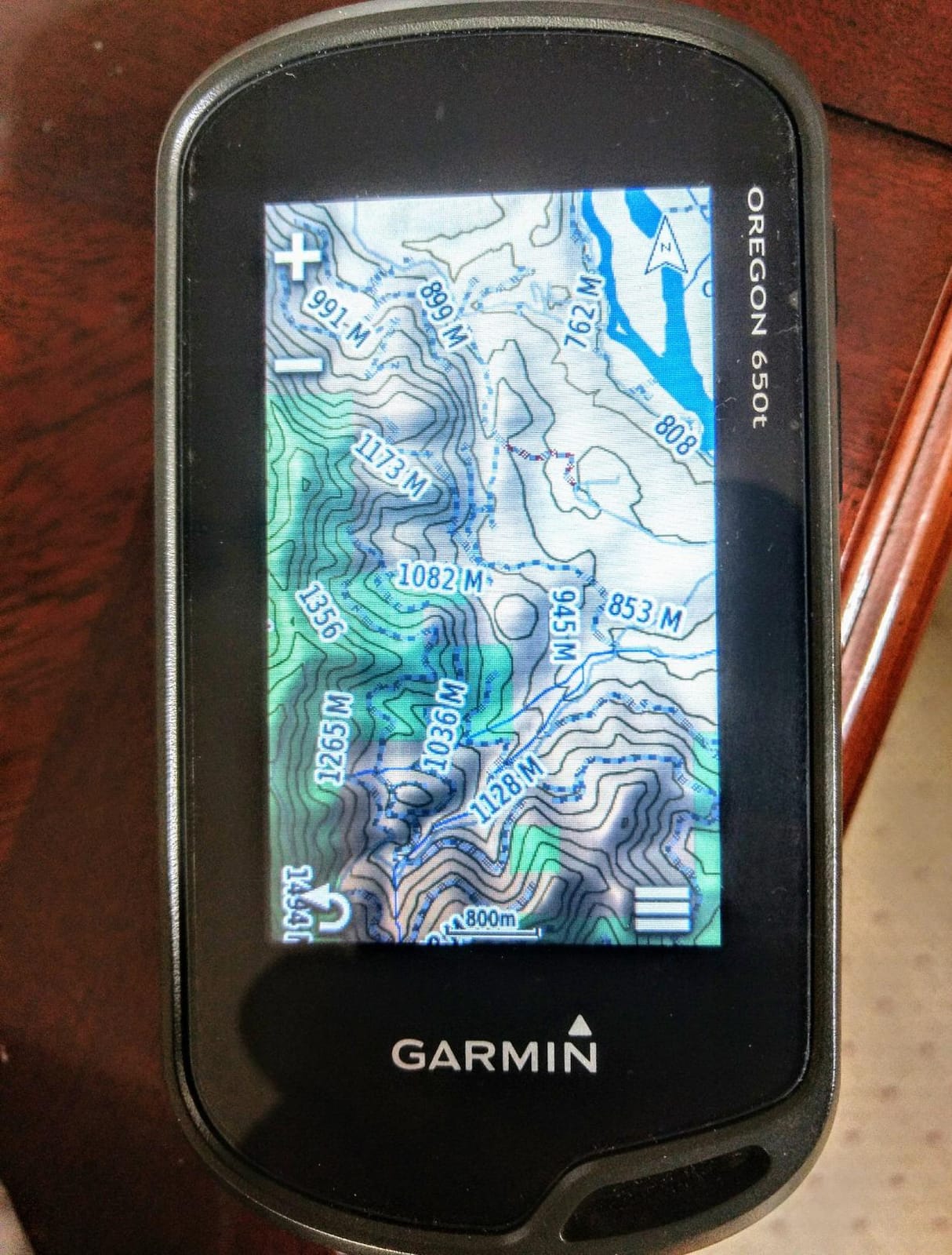
The display is the other attraction. A 3 inch sunlight-readable multi-touch panel in both portrait and landscape orientation is a lot of screen for a device you can hold in one hand, and the large target size is genuinely easier to hit in the rain than a stylus-free phone screen in a case.
Positioning is dual-band GPS and GLONASS with a 3-axis compass, accelerometer and barometric altimeter, which is a full sensor suite and holds well in heavy forest. The included NiMH pack recharges inside the unit, so you are not hunting for a wall socket.
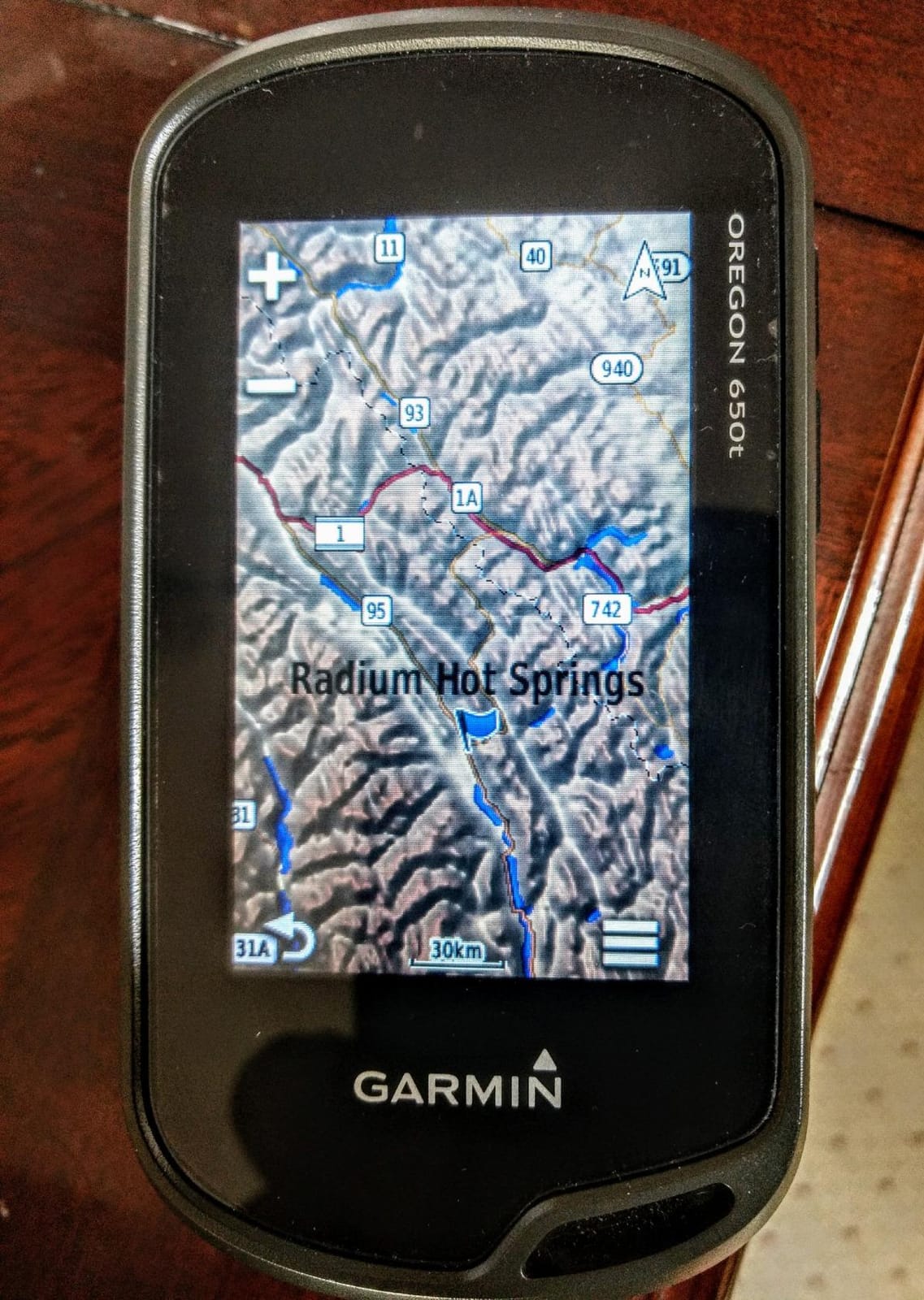
It is also worth knowing the device is not precious. Reviewers use it in rain, drop it, and keep logging caches on it afterwards, which is the durability argument that matters when the same unit gets handed around a group.
Is the built-in camera worth it for a cacher?
Only if you already photograph your finds. The sensor is a convenience camera, not a camera you would choose deliberately, and in low light indoors it is not going to compete with a modern phone. Its value is availability: one device, already in your hand, already logged in, already switched on.
That matters most in a specific situation, which is logging a find in a dark box or under a shelter where pulling out a phone is awkward or where you would rather not. For solve-photo posting in daylight, it is a genuine bonus.
Where the Oregon 650t stops making sense
It is the most expensive unit in this roundup, and if the camera is not on your list of reasons to buy, that premium buys you very little over a simpler model. Four gigabytes of internal memory is also modest, and the bundled 100K topo detail is coarse for the kind of precise terrain work that the 3 inch screen encourages you to attempt.
Sixteen hours of stated battery life is among the shortest figures for the AA-capable units here, and a touchscreen is the most power-hungry interface. If you are caching in cold weather with the screen on, plan spares.
9. Garmin Oregon 600t – Best for a Big Dual-Orientation Touchscreen
Garmin 010-01066-10 Oregon 600t 3-Inch Worldwide Handheld GPS with Topographic Maps
- Large 3-inch glove-usable touchscreen with dual orientation
- Dual-band GPS and GLONASS holds position in heavy forest
- Full sensor suite with 3-axis compass and barometric altimeter
- ANT and Bluetooth wireless sharing of caches and photos
- Only 300 MB of internal memory
- Preloaded topo detail is coarse for close navigation
- Battery hungry especially with the screen on
The 600t is the touchscreen specialist. If your geocaching involves reading a map rather than following a bearing, the 3 inch multi-touch display in both portrait and landscape is among the most readable screens in this roundup, and dual-band GPS and GLONASS gives it the reception to back up the display in heavy forest.
The sensor suite is complete for clue work: 3-axis compass, accelerometer and barometric altimeter. ANT and Bluetooth let you push routes, tracks, waypoints, geocaches and photos between compatible devices, which is convenient when a group is coordinating a multi-cache route.
Battery accepts two AA cells or the optional NiMH pack, so you are not locked into one charging standard. For most people the AAs are the reason to own it.
At 7.4 ounces it is not a heavy device despite the large screen, and the dual orientation is the detail that keeps coming back in reviews. Rotating a phone-shaped interface is a compromise, but flipping a device designed for both orientations is not.
Touchscreen or buttons for geocaching, honestly
Here is the honest position, and it is a minority view in this roundup. Community consensus is that the touchscreen advantage of the Oregon and Montana style units is not worth it for geocaching specifically, because cache finding is button-driven work and a mis-registered tap in rain costs you more than a large display gains you.
That is fair for the moment you are walking to a target. It is not fair for the twenty minutes before and after, when you are reviewing a listing, sorting hints, checking a map and logging a find. For that work, a 3 inch screen is a real upgrade, and the dual orientation means you can flip the device rather than rotate an interface designed for a phone.
Where the 600t falls down
Three hundred megabytes of internal memory is the problem. That is not enough for a meaningful map set, so almost everything has to live on a card, and map management and desktop downloads are the least pleasant part of the ownership experience.
Sixteen hours of battery life and a permanently active screen also make it one of the most power-hungry options here, and it warms up in a jacket pocket faster than a button-driven unit. If you cache on a schedule rather than an adventure, that is a real daily cost.
10. Garmin Rino 750 – Best for Two-Way Radio Group Caching
- Built-in 5 watt GMRS radio with up to 20 mile range plus text messaging
- Large 3-inch touchscreen with accurate touch response
- Fast satellite lock that holds signal deep in the woods
- Good battery life running dusk to dawn with charge remaining
- Position reporting shows other Rino users
- Only a basic worldwide basemap preloaded
- Radio function is region-locked to the US model
- Map transfers and setup can be slow
- 1.7 GB of memory is small for map storage
The Rino 750 exists for a specific scenario: your geocaching group is spread out and you need to talk to each other. The 5 watt GMRS radio carries voice and text messages over up to 20 miles depending on terrain, and the position reporting feature shows other compatible Rino users on the same channel, so a group can see where everyone is.
It also holds a signal well. Reviewers report fast satellite acquisition that stays locked deep in the woods, and battery behaviour good enough to run from dusk to dawn with charge remaining on the lithium-ion pack. The dual battery system accepts up to 14 hours on the lithium pack and 18 hours on optional AA cells.
Position reporting is the feature that changes a group dynamic. Seeing where the rest of your party is on the same channel turns a loose group of individuals into something that can be coordinated, which matters most on a multi-cache day with a fixed time limit.
When a built-in radio beats a phone network
When there is no network. Two-way radio needs no cell tower and no satellite service, which means it works in exactly the places your phone becomes useless. For a family walking a long linear trail, a club running a distributed multi-cache event, or a group splitting up to cover more ground, that is a capability no subscription app provides.
It also means no data plan, no monthly fee, and no per-message billing. The trade-off is that you are limited by line of sight and terrain, which is fine in open country and marginal in dense forest.
Who should skip the Rino 750
Skip it if you cache alone or in a tight group, because the radio is the main reason to own it and you would be carrying a bulky antenna-equipped device for nothing. Skip it outside the United States, since the radio function is region-locked and the US model will not operate everywhere.
Skip it if navigation is the point, too. Only a basic worldwide basemap is preloaded, so detailed topo mapping is an extra purchase and a slow transfer job, and 1.7 GB of memory is small for a device with a 3 inch screen. Treat it as a communications tool that happens to guide you, not the other way round.
How to Choose a Handheld GPS for Geocaching?
Most buying mistakes come down to paying for features you will not use and skipping the one you will. Here are the six decisions that actually change your experience in the field, in roughly the order they matter.
Reception and multi-GNSS in heavy tree cover
Multi-GNSS simply means the receiver listens to more than one satellite constellation. GPS alone is not the whole system; GLONASS adds satellites, and on some units dual-band reception adds a second frequency for a cleaner fix. More constellations and more bands translate into faster acquisition and, more importantly, a position that does not wander when you are walking under canopy or in a canyon.
This is the core geocaching failure mode. A phone position fix typically resolves to somewhere between five and twenty metres, and drifts further under canopy, which means you walk in a circle around a tree instead of walking up to a bolt. Every unit in this roundup supports at least GPS, most add GLONASS, and the Oregon models sit at the more capable end of that range with dual-band reception.
Paperless geocaching: getting caches from geocaching.com onto the device
Paperless geocaching means downloading cache descriptions, coordinates, difficulty and terrain star ratings, and recent logs to the device, then navigating to them by bearing, distance and breadcrumb trail. It works with no cell signal once loaded, which is the entire point.
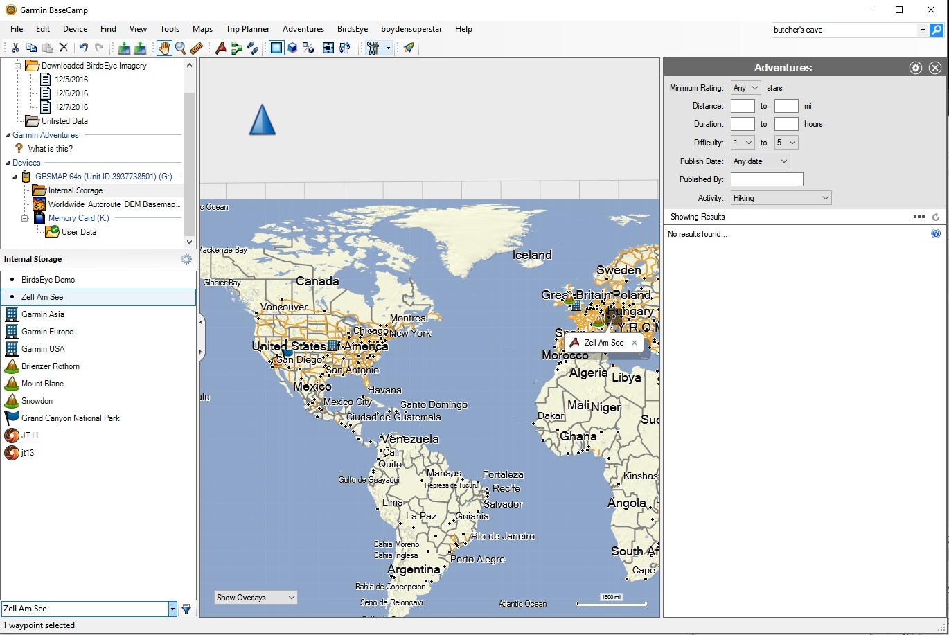
The workflow is more approachable than it looks. Log in to geocaching.com, find the caches you want, and request the GPX file for your device. Connect the handheld to a computer over USB and copy the file into the geocache folder on the device. Open the geocaching menu on the handheld and the listings appear with full details. The same cache list then appears in the map, the search list and the compass page, and the device will show a bearing and distance to the selected cache.
Two tips from experience. Keep a small working set of caches in your area rather than the whole database, because very large numbers of cached waypoints slow the unit down. And check that the caches you load have recent logs, since a spoiler in an old log will spoil your day in five seconds.
AA cells or a lithium-ion pack
This is not a detail. AA models let you carry spare cells and swap them in a village shop, in a car boot, or anywhere with a battery rack. Lithium packs charge faster, hold more charge per gram, and perform far better in freezing conditions, but a dead lithium pack is a dead trip unless you have a cable and a power source.
Most cachers in the community choose AA for flexibility. If you cache in winter, in cold high country, or on multi-day trips where weight matters less than uptime, lithium is the better call. Several units here accept both, which is the ideal answer.
Screen size, sunlight readability and gloves
Two point two inches is enough for a bearing and a distance, which is most of geocaching, and not enough for comfortable map study. Three inches is a genuine step up for reading terrain and reviewing hints, at the cost of bulk and battery drain.
Readability in sunlight is separate from size. Transflective screens gain contrast from ambient light and stay readable in direct sun without the backlight, while many backlit panels wash out at midday. If you cache in open country in high summer, this matters more than resolution.
And plan for gloves. A physical keypad works with cold, wet hands every time. Capacitive touchscreens mis-register, and that failure tends to happen at the exact moment your fingers are coldest.
Subscription-free devices versus satellite communicators
Every unit in this roundup performs paperless geocaching with no recurring fee. The distinction only matters if you want satellite safety features, which is the inReach capability on the GPSMAP 66i. That service is billed monthly, and it is the single most common source of confusion for buyers.
Skip the subscription if you cache in places with coverage. The navigation is identical either way, and you avoid paying a monthly fee for a feature you never trigger. Buy it if you cache alone in remote country, and treat the running cost as insurance rather than a feature fee.
Handheld GPS versus your phone, and buying for kids or a classroom
A modern phone is a capable navigator, and for urban parks, open countryside and any trip with a good signal, it may be all you need. It loses decisively in three places: position accuracy under canopy, battery life on a cold day, and anything requiring gloves or wet hands. It also comes with a notification layer that will eventually end a caching session.
For kids, a dedicated handheld is genuinely better. It is faster to learn because there is nothing else to do, it cannot receive a text mid-puzzle, and it survives being dropped. A thread on r/geocaching captures this well, where a teacher needing many inexpensive devices for a classroom geocaching lab with phones banned was told the practical answer was simple, waterproof, AA-powered models in bulk. That is a real buying pattern, and a fleet buys better than one.
Handheld GPS is a wider category than caching, of course. If your interest is distance measurement rather than wayfinding, our roundup on handheld golf GPS devices for course management covers a very different set of hardware, and the same buying logic around screen readability, battery style and ruggedness applies there too.
Whatever you buy, carry a compass and a paper map as a backup. No device, at any level, is a reason to leave those behind.
Frequently Asked Questions
Which handheld GPS is most accurate for geocaching?
The Garmin GPSMAP 64s is the most accurate for typical geocaching, thanks to a high-sensitivity GPS and GLONASS receiver with a quad-helix antenna that acquires quickly and holds a steady fix under heavy tree cover, plus a tilt-compensated 3-axis compass and barometric altimeter. The Oregon 600t and 650t add dual-band reception for even cleaner positioning, and the 66i is the strongest all-rounder if you also want satellite safety.
What is the best handheld GPS without a subscription?
Every handheld GPS for paperless geocaching in this roundup works with no recurring fee, including the Garmin GPSMAP 64s, the eTrex 22x and the eTrex 10. Only satellite messaging costs extra, and that appears on the GPSMAP 66i, which pairs inReach SOS and two-way messaging behind a monthly service. If you cache near roads or towns, buy a non-subscription model and spend nothing further.
Is a handheld GPS worth getting for geocaching?
A handheld GPS is worth it once terrain or weather stops being friendly. In open parkland with good signal a phone is enough, but under dense canopy a phone fix can drift by several metres, which is the difference between walking to a cache and circling a tree. A handheld also survives gloves, rain and cold, runs all day on AA cells, and removes the distractions that end sessions early.
What is the hardest geocache to find?
Difficulty is measured on a one to five star scale, and a five star cache can require a long off-trail trek, a precise final placement, a multi-stage puzzle or all three. Terrain stars rate physical difficulty separately, so a cache with one difficulty star and five terrain stars is a short walk and a hard scramble. Check both ratings before you commit a day to a search.
What is a booger in geocaching?
A booger, short for travel bug, is a small trackable disc that you carry from one cache to another. A cacher picks one up, logs it in the listing, and places it in a different cache, moving it around the network over time. Boogers have their own name, tracking code and travel count so anyone can follow the disc journey.
Which Handheld GPS Should You Buy?
Buy the Garmin GPSMAP 64s if you want one device to do everything well. It is the best handheld GPS for geocaching overall, it runs on AA cells you can replace anywhere, and its combination of fast acquisition under tree cover, a 3-axis compass and a barometric altimeter is the package that solves puzzles fastest.
Buy the eTrex 10 if you are starting out or buying for a child, and want the lightest, most waterproof, simplest option. Buy the eTrex 22x if you want real routable maps on screen without a computer or a touchscreen. Buy the GPSMAP 64st if you want preloaded topographic detail and satellite imagery with no setup.
Buy the GPSMAP 66i only if you cache alone in genuinely remote country and want a satellite SOS. Buy an Oregon if a large touchscreen and photo logging matter to you, and buy the Rino 750 if your group needs to talk to each other across open country. In every case, carry a compass and a paper map as your backup, and check the current details on the buy button before you commit in 2026.